
TRAVEL MAP
Track a lifetime of travel on one map.
In short, the Wendways travel map is one lifetime record of flights, trains, ferries, road trips, and cruises, on a flat map or a 3D globe. Distance, countries, and routes add up across every mode. The map is included on the free Member plan, and an OpenFlights or TripIt import can fill it in.
Last updated October 14, 2026.
Flights, trains, ferries, road trips, and cruises, all in one record. See it on a flat map, side by side with your data, or on a 3D globe that replays your travel year by year.
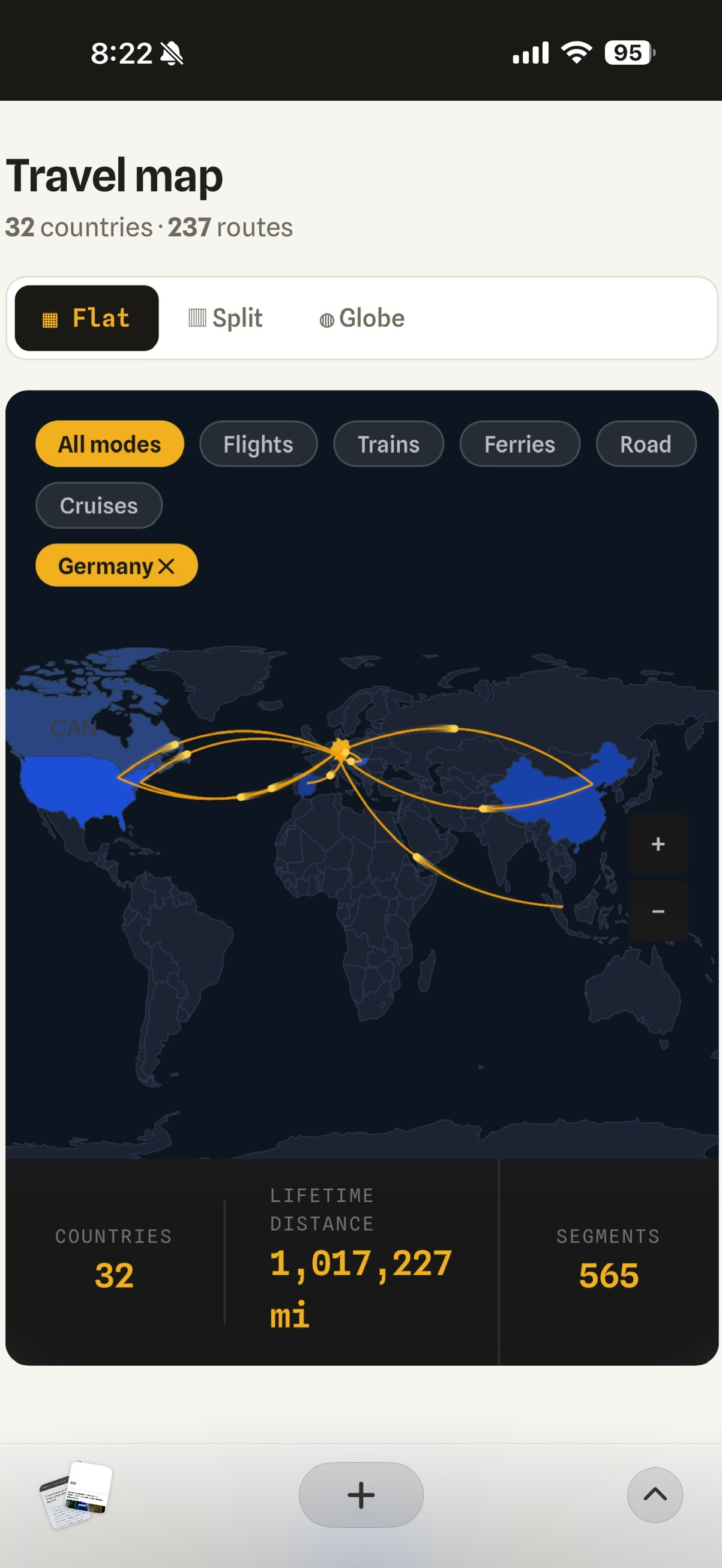
The numbers under the routes
Distance, hours aloft, countries, milestones, and your top routes. The board below is a sample record, so you can see the shape of the stats. Your own totals start empty and fill in as you import and log trips.
What the map is for
A flight log answers "where did I fly?" A travel map answers "where have I been, and how did I get there?" Routes draw as you add them. Filter a year when you want a recap, or leave the lifetime view on and watch the lines accumulate.
The same record feeds trip planning. Places you have already been sit next to the ones still on the wishlist, which is how a someday idea turns into the next itinerary. Read more on trip planning and every mode.
Already logging flights somewhere else? Import an OpenFlights CSV or bring TripIt trips across. The map fills in before you add a single new booking.
From wishlist to window seat.
One home for your whole travel life. Free to start, and yours to keep.
Start freeFree forever. No card needed.